Auntie_M 369
@Auntie_M
29 July, 04:16
Holy Cow!!!
Has anyone looked closely at The Great Awakening Map?
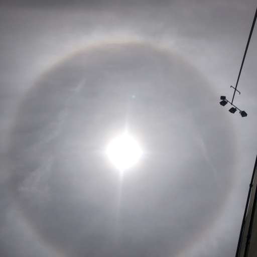
Remember the DEW fire in Paradise CA? (Pic 1)
It's located in the upper right corner of Pic 2
The Q portion is in the lower left portion of the full map in Pic 3
Has anyone looked closely at The Great Awakening Map?
Remember the DEW fire in Paradise CA? (Pic 1)
It's located in the upper right corner of Pic 2
The Q portion is in the lower left portion of the full map in Pic 3


Notice: Undefined index: tg1tga_access in /home/admin/www/anonup.com/themes/default/apps/timeline/post.phtml on line 396
VAL THOR
@VALTHOR
31 July, 08:03
In response Auntie_M 369 to her Publication
DOUBLE ROWS OF TEETH, NO OUTSIDE DENTISTS ALLOWED IN TO HELP IDENTIFY. LAST I KNEW NO INSURANCE CLAIMS WERE EVER FILED.
Notice: Undefined index: tg1tga_access in /home/admin/www/anonup.com/themes/default/apps/timeline/post.phtml on line 396
Where did they go?
Paradise is a shell of what it was. The population went from about 26,000 to an estimated 3,000 today.
The Camp Fire, named for Camp Creek Road where it is believed to have started east of Paradise, was the single most destructive wildfire in California history and the worst in the United States in a century. Close to 19,000 structures burned. In Paradise, more than 11,000 houses burned to the ground. A year later, only 11 have been rebuilt. Eleven.
https://www.npr.org/2019/1...
02:12 PM - Jul 31, 2022
In response VAL THOR to his Publication
Only people mentioned by Auntie_M in this post can reply