Can anyone please explain why there is such a difference between the radar view of the Gulf of Mexico and the satellite view? These screenshots were taken approx. 3-5 minutes apart.
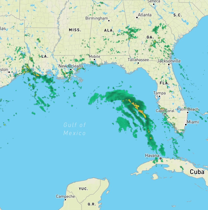
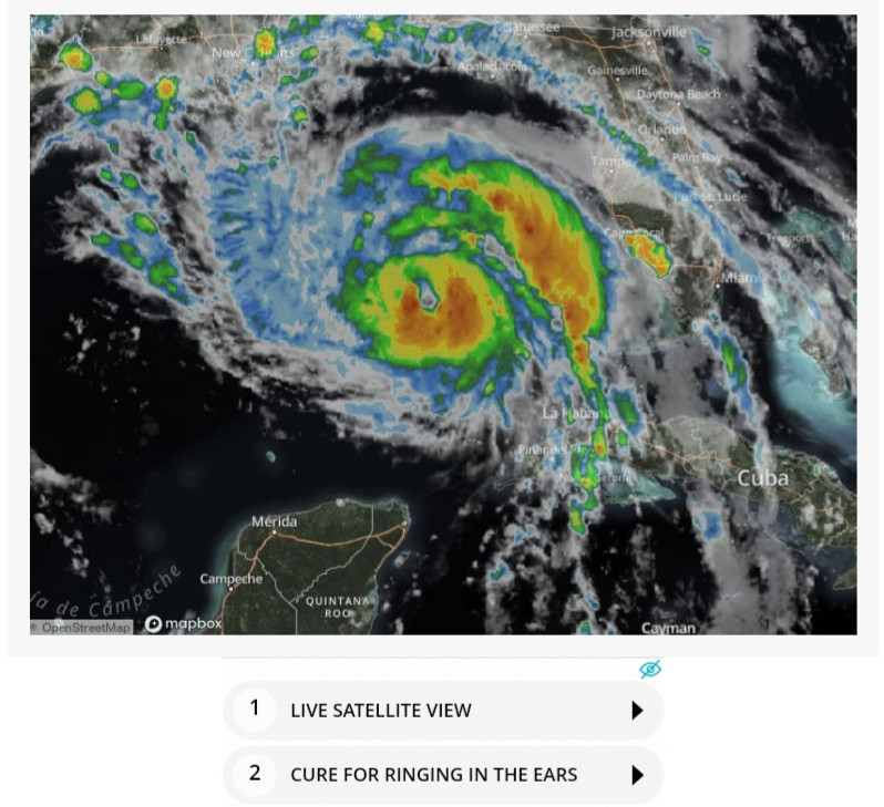
01:58 PM - Aug 28, 2021
Only people mentioned by widget260 in this post can reply